Flypix
AI-powered satellite imagery analysis for automated object detection and mapping.
What is Flypix?
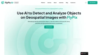
FlyPix AI is a cloud-based geospatial analysis platform that applies artificial intelligence to satellite, aerial, and drone imagery. It automatically detects and outlines objects such as buildings, roads, vegetation, and infrastructure in dense scenes, reducing manual annotation time by up to 99.
7 %. Users can train custom AI models with a simple annotation interface, enabling detection of industry‑specific objects without requiring programming knowledge. The platform supports multispectral data processing and offers an analytics dashboard for visual inspection, export of vector layers, and map collaboration.
FlyPix AI serves construction, port operations, agriculture, forestry, government, renewable energy, and risk‑management sectors, providing precise land‑use classification and monitoring capabilities. Its API and team‑management features enable integration into existing workflows and shared access across project teams.
Flypix on the web: Flypix on LinkedIn
Flypix details
- Company
- Flypix AI GmbH
- Jurisdiction
- Germany
- Built for
- Businesses and teams
Flypix tech specs
- Cloud
- AWS
Flypix pricingSubscription
Flypix user reviews
Based on 1 review, 100% of users recommend Flypix, rated highly for quality results.
Liked for
Flypix playbooks
Flypix's key features
- ✓AI-powered Earth observation analysis
- ✓Scalable production-ready POCs
- ✓Business-first monetization mapping
- ✓KPI definition for AI solutions
- ✓Co-building with AWS partners
- ✓Production trajectory planning
- ✓Earth insights generation
Flypix use cases
- ⚡Create detailed construction progress reports by automating building and road detection with FlyPix AI, enabling managers to track progress without manual annotation.
- ⚡Develop precision agriculture dashboards that automatically classify crop health and weed presence using multispectral imagery processed by FlyPix AI.
- ⚡Generate risk assessment maps for flood and landslide hazards by detecting changes in vegetation and infrastructure from satellite imagery with FlyPix AI.
Who is Flypix for?
- Construction managers
- Agricultural innovators
- Data analysts
- Gis analysts
- Remote sensing technicians
Flypix FAQ
Is Flypix free?
No. Flypix is a paid product and requires a paid plan to use.
Is Flypix safe to use?
Flypix is operated by Flypix AI GmbH, registered in Germany. It has a substantial audience that is independently measured month to month.
What are the best alternatives to Flypix?
The closest alternatives to Flypix are BasicAI Cloud, AI or Not, Satlas, Datature and irisradgroup.com. You can compare them side by side in the alternatives section further down this page.
What does Flypix do with my data?
Flypix states that customer content may be used to train its models.
Does Flypix have an API?
Yes. Flypix offers an API, so you can call it from your own applications instead of using the interface directly.
Who made Flypix?
Flypix is built and operated by Flypix AI GmbH, a company registered in Germany.